(As ever, click on image to enlarge. Slideshow omits captions.)
I went a-touring, again, with Marty Cochran. This time Tim Turk was the catalyst. He said, "I wanna tour a bunch out of Sisters!" I countered with nearly this loop, and Marty fixed little issues like the need for water and sticking to roads that exist. Whatta team!
Seven nights out, 451.6 miles, 32,689' climb.
 |
Day 1: Launch point. Fuelling for climb out of Prineville to first camp on Trout Creek.
Tim and Marty visible through street window. |
 |
Camp along SE Trout Creek Rd.
Only one wet crossing this year, at least two fewer than our Oregon Outback ride on this stretch |
 |
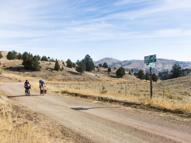
| Day 2: SE Trout Creek Rd |
 |
| A little dirt,... |
 |
| ...a little gravel |
 |
| Approaching Ashwood |
 |
| Fog lifted as the day warmed. |
 |
| Ashwood |
 |
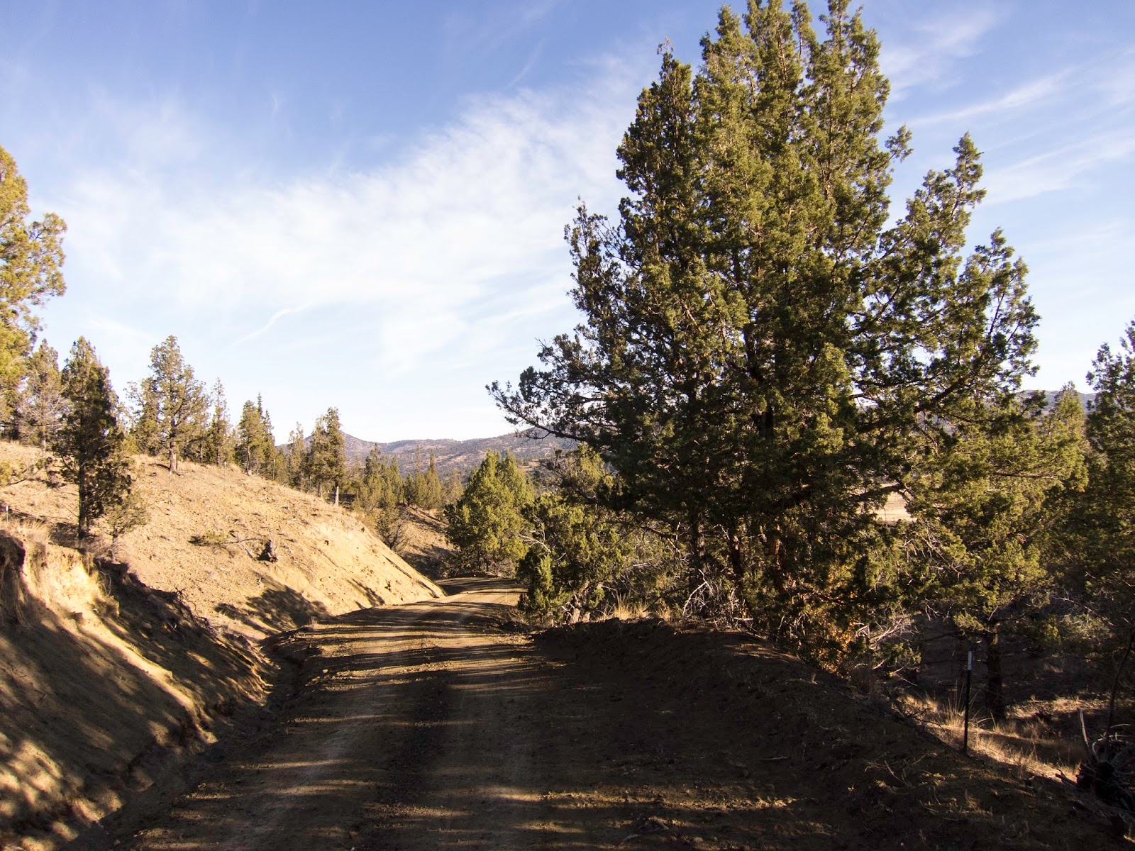
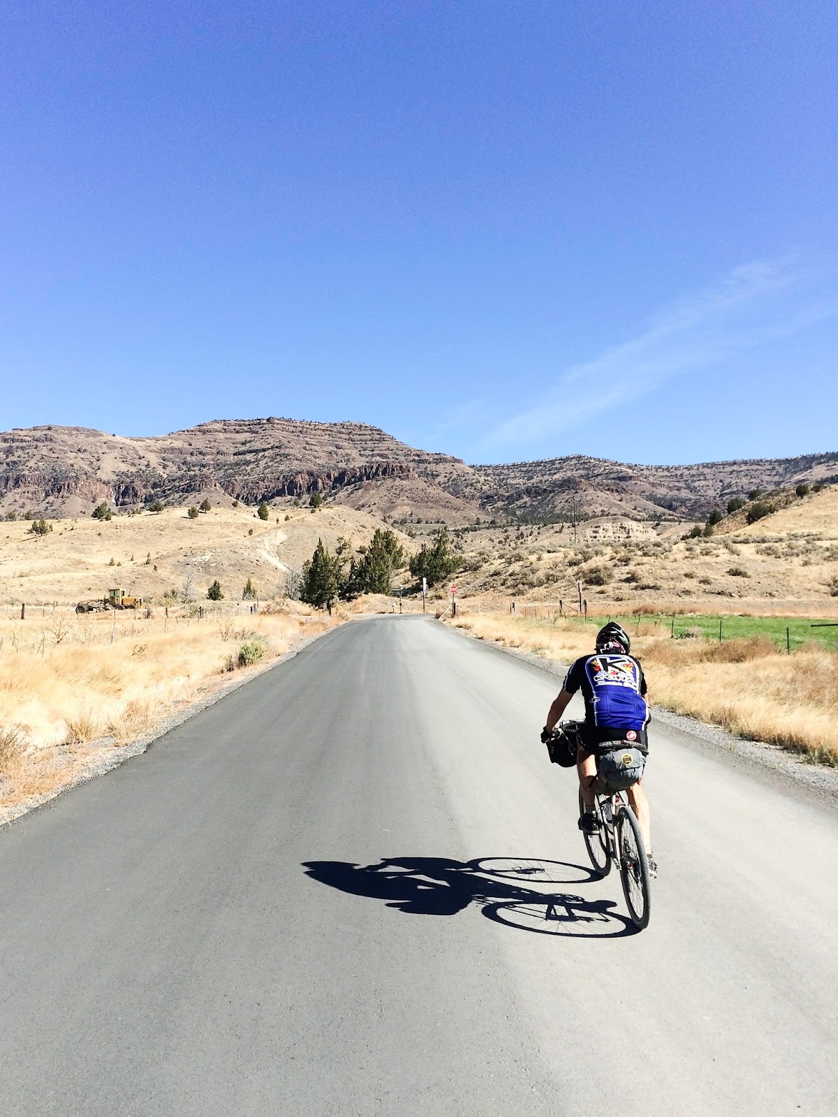
| Start of the climb out of Ashwood on NE Gosner Rd. |
 |
| Gradients up to 18%, but more like 12-14%... and washboard. |
 |
| The sign is correct. We left Ashwood on NE Gosner, but Ashwood Rd gets there, too. |
 |
| Maybe King Canyon at right rear. |
 |
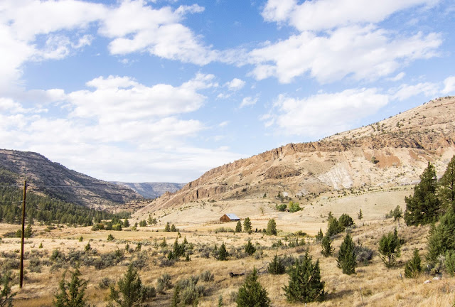
| Fog over the John Day toward Fossil |
 |
Likely close to where NE Divide Rd changes name to Cold Camp Rd,
downhill from the Allan Erbes banana peel incident of '14. |
 |
| Oh, just some cloud shadows... |
 |
| No services in Clarno. |
 |
| Tim filtering the John Day River. |
 |
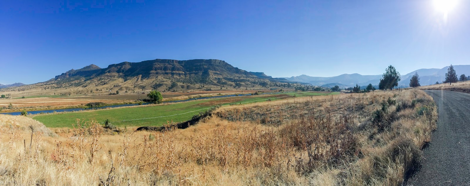
John Day National Monument, Clarno Unit.
The Clarno formation includes, lava flows, tuff, and more! |
 |
| The Shankio-Fossil Hwy |
 |
| John Day National Monument Clarno Unit |
 |
| Hard to imagine better touring buddies than Tim Turk and Marty Cochran. Well... maybe I can. But they're ok. |
 |
| It doesn't say "ice cream"! |
 |
| Camp at Bear Hollow. No idea. |
 |
| Day 3: Note the very thin rock thingy up above. Rare for these sorts of formations. |
 |
| Rowe Creek Rd. |
 |
| Almost to the John Day River. |
 |
| Marty and Tim on N Twickenham Rd. |
 |
| Not Pilot rock. No cyclists in this one. |
 |
| About to cross the John Day River, from N Twickenham Rd onto S Twickenham Rd. |
 |
| John Day River |
 |
| Burnt Ranch Rd, approaching John Day National Monument Painted Hills Unit |
 |
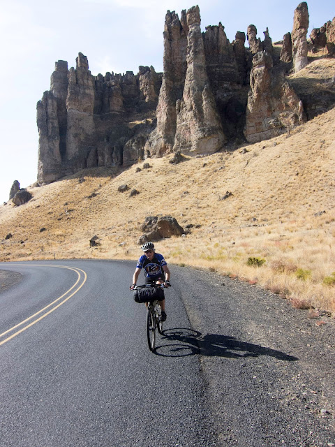
| Carroll Rim, entrance to the Painted Hills Unit. |
 |
| Painted Ridge |
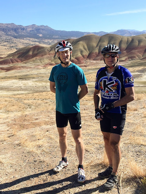 |
| Guess who? |
 |
| On toward Mitchell. |
 |
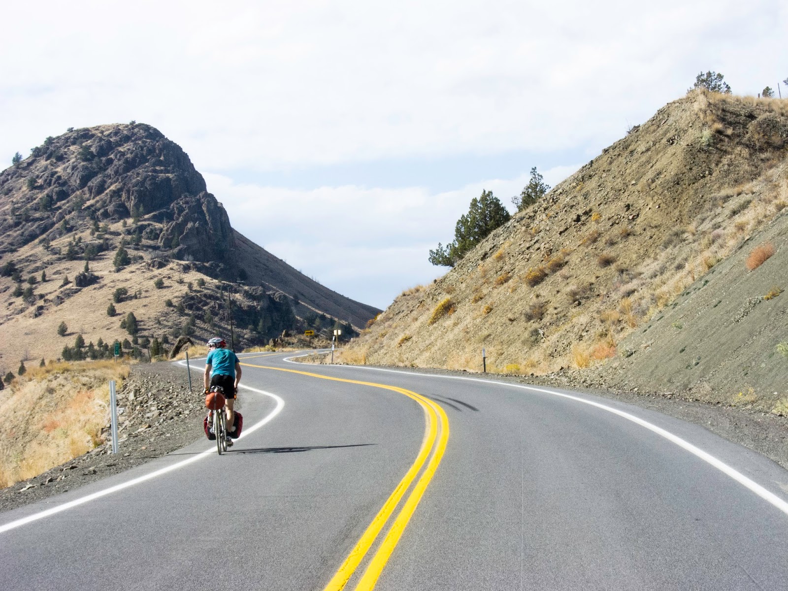
| Climb out of Mitchell on the Mitchell-Service Creek Rd. |
 |
| The Wild West. |
 |
| The Mitchell-Service Creek Road is a wonderful, 26-mile paved stretch with two decent climbs and two whopping descents. |
 |
| Swoosh! |
 |
| Zoom! |
 |
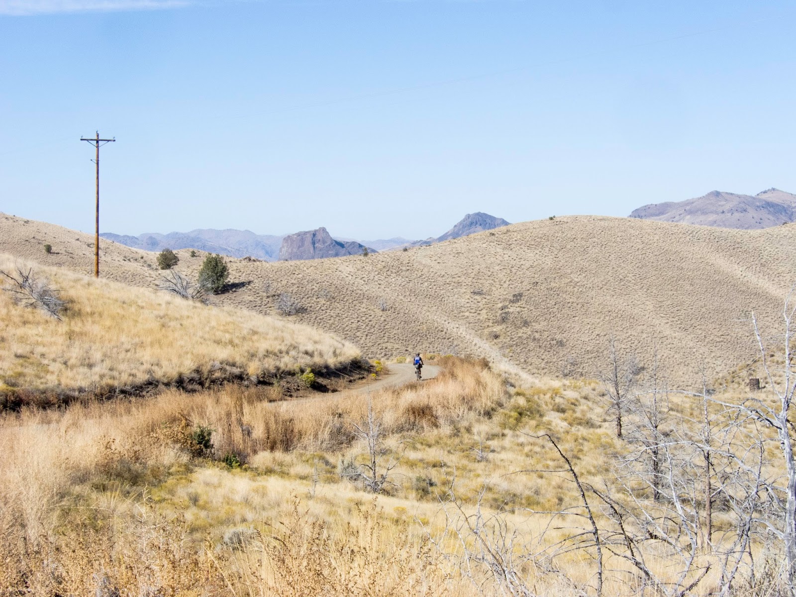
| Marty down below. Really. On the near side of the road, count five trees from the left and then up to road: Marty. |
 |
| John Day River at Service Creek |
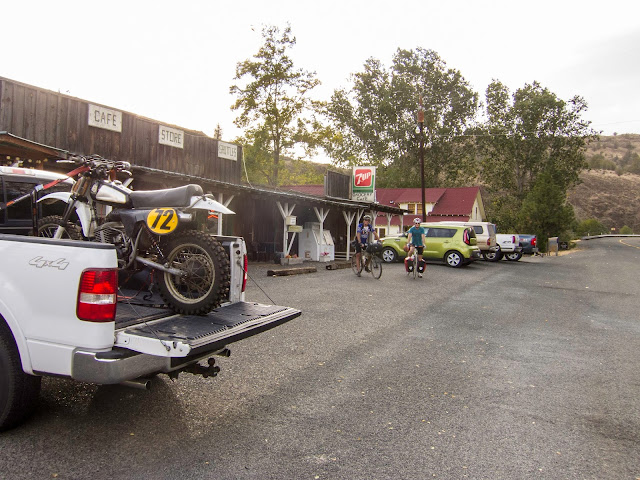 |
| Services, Service Creek, OR |
 |
Still not a campground I like: Spray. Coated by dust storm until rain began toward 11pm. Dust at left. Note wind on river.
|
 |
| Day 4: Breakfast in Spray. |
 |
| Hommage à Magritte |
 |
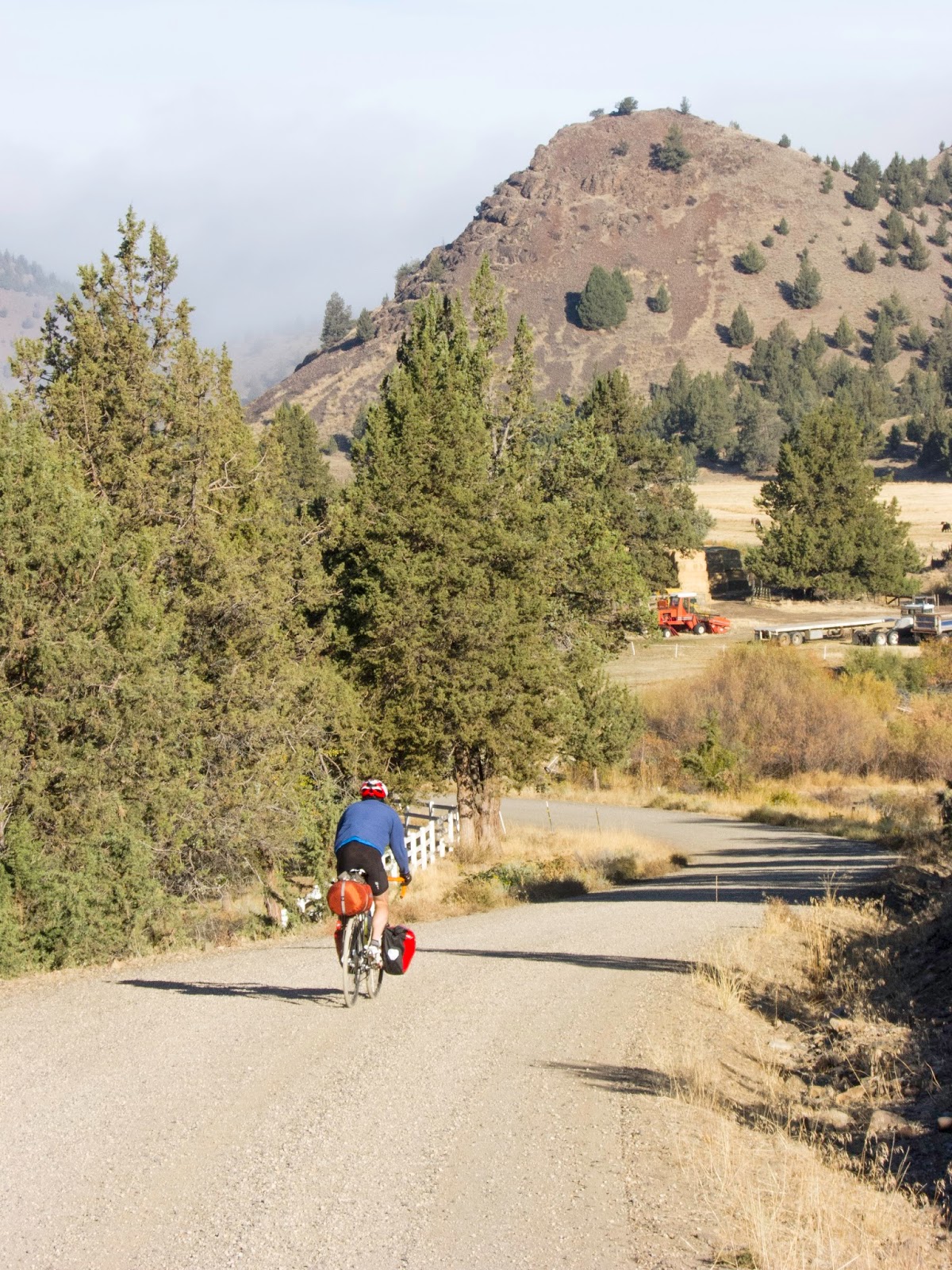
| Marty, on toward Kimberly.... |
 |
| Monument |
 |
| A bridge I like. |
 |
| Stylish cow. |
 |
| Climb toward Long Creek |
 |
| Long Creek. Note we are eating vegetables. This is not easy, touring, at times. |
 |
| Silver hosted us at Allovars in Long Creek, again. Recommended, but she may be shutting down. Anyone interested? |
 |
| Day 5: Leaving Long Creek |
 |
| Well, it was bound to happen.... |
 |
| Back toward Long Creek. |
 |
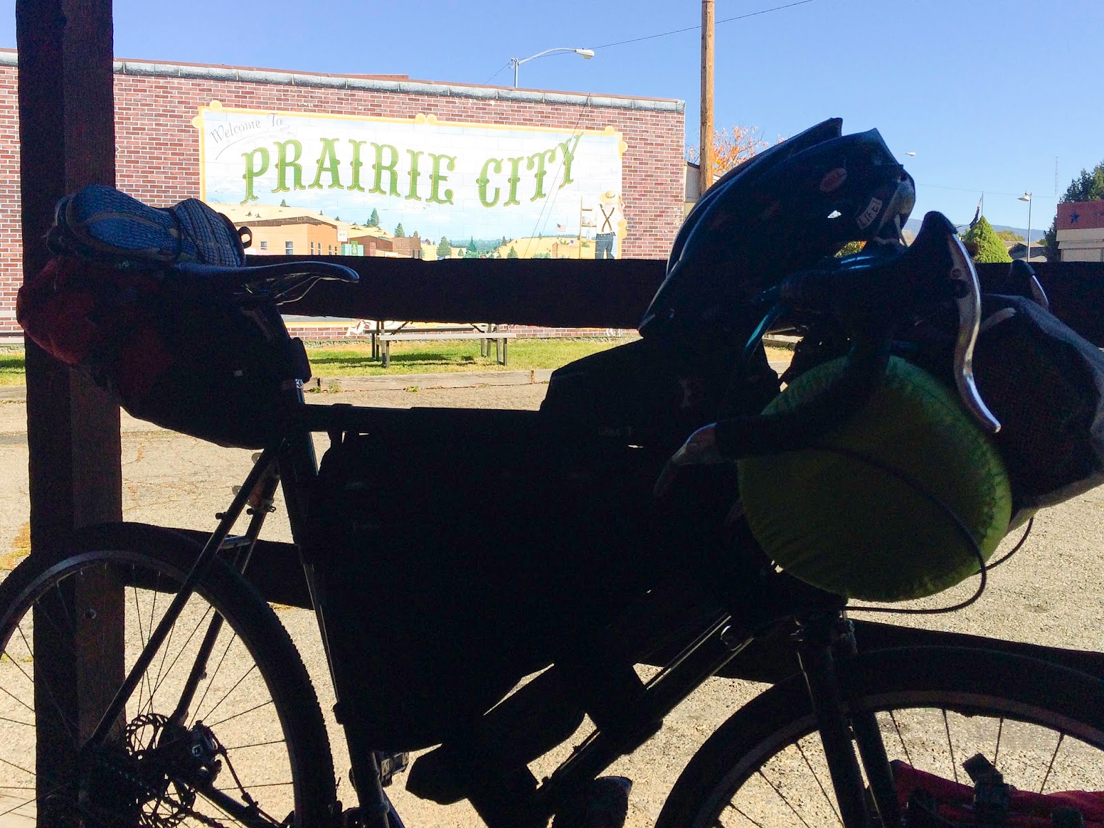
| Depot Park in Prairie City |
 |
| Day 6: He really is a morning person. |
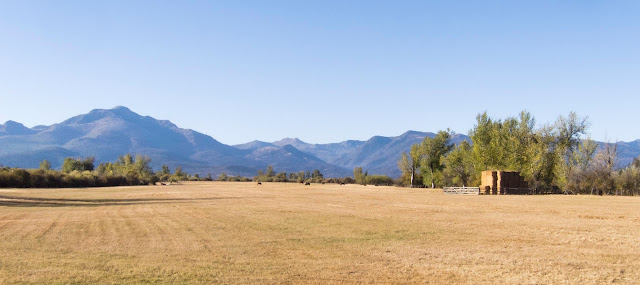 |
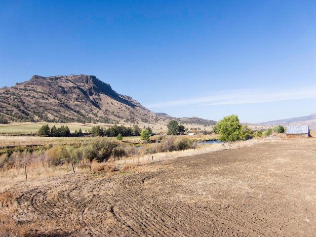
| Hay! And the Strawberry Mountain Range |
 |
| After a stop at Trout Farm for delicious spring water! |
 |
| Zoom! |
 |
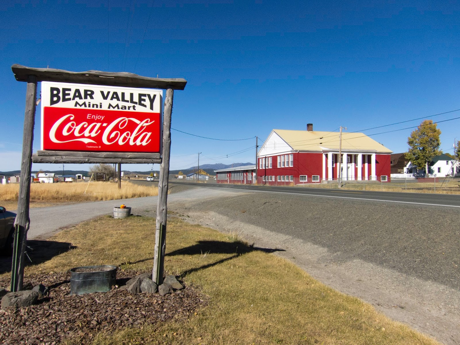
| Seneca! Good restaurant not pictured. Check for hours in advance. We did. |
 |
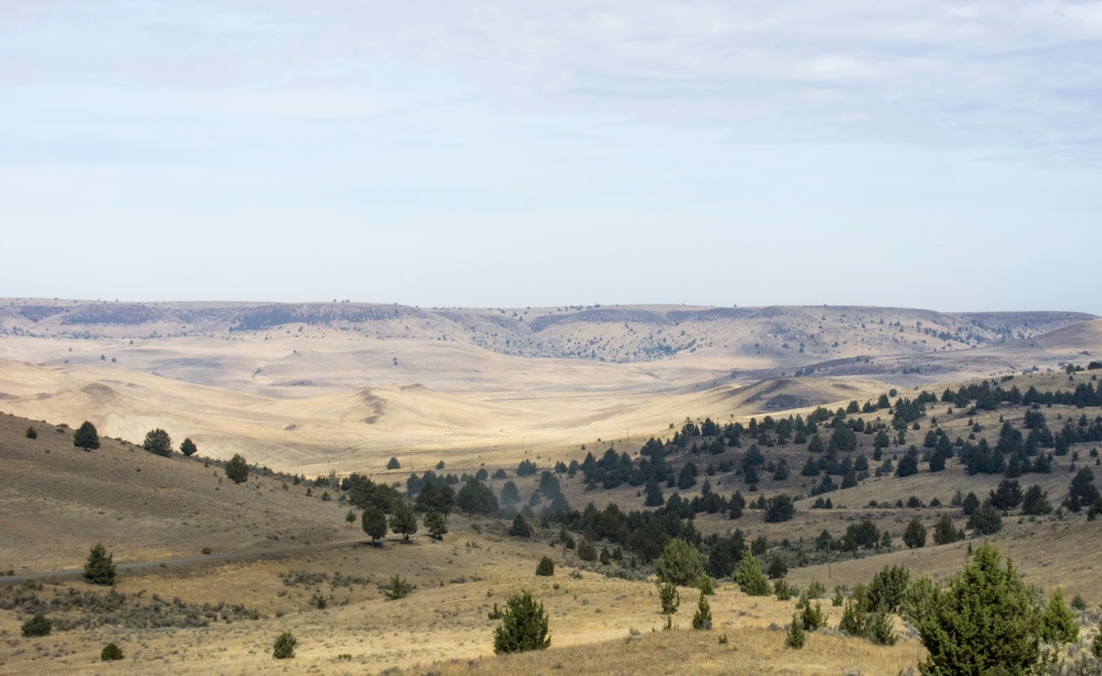
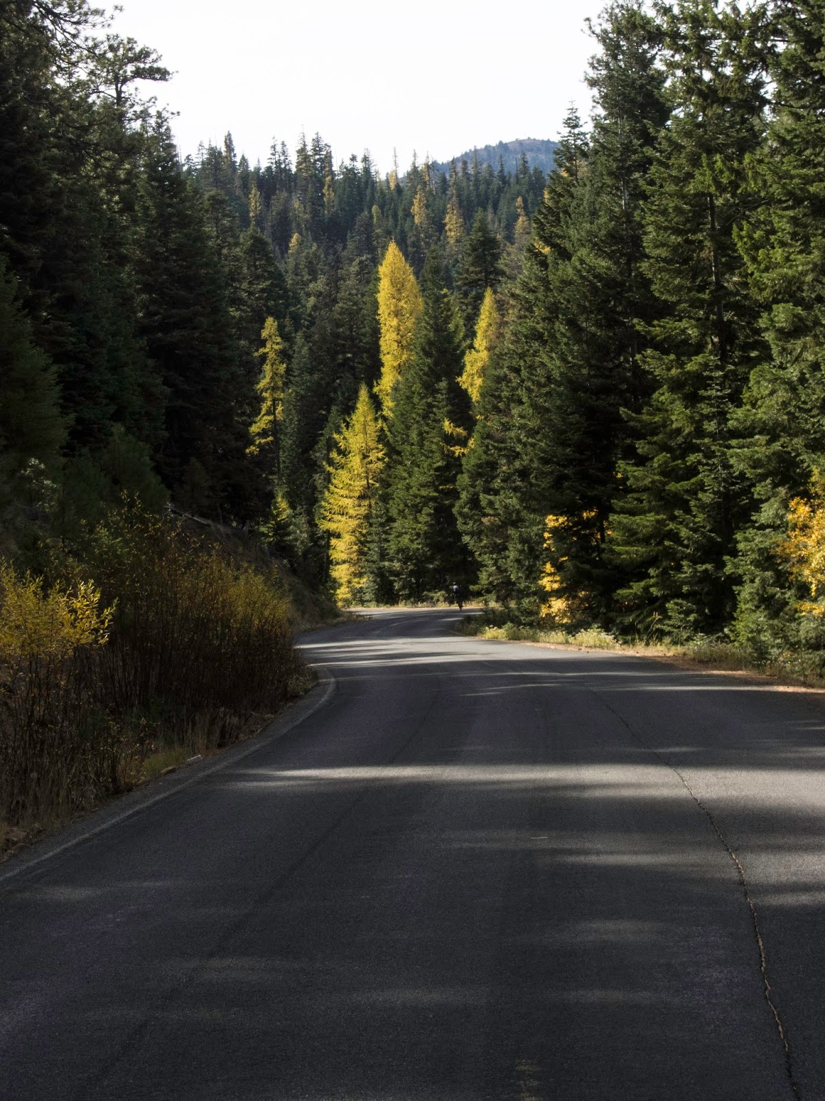
| The Ochocos await! |
 |
| A last look back to Hwy 395 before two nights in The Wild.... |
 |
| Snow Creek. Coldest night/morning of the tour to come: 28 degrees. |
 |
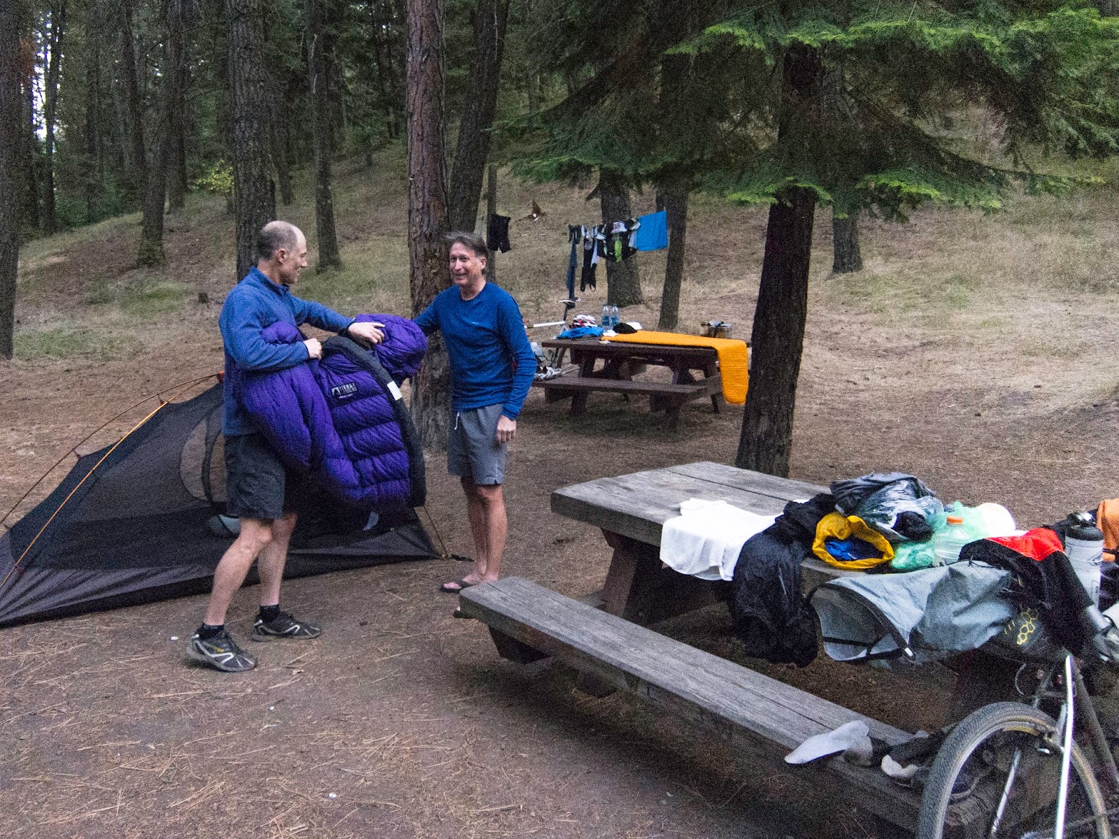
| Glad someone knows what he's doing! Note amount of clothing evening.... |
 |
| Day 7: ...and next morning. 28F. Brrrrrrr! |
 |
| Tim had long pants on. That's COLD. |
 |
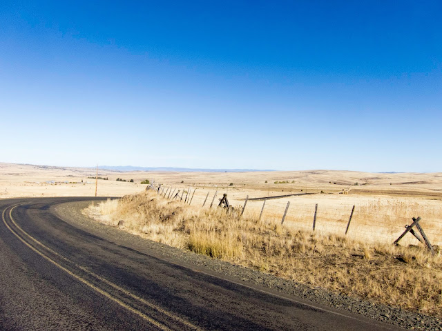
| Izee Rd. |
 |
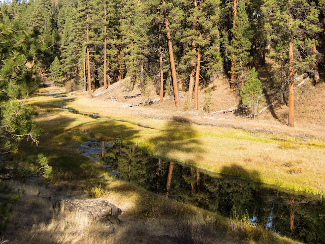
| South Fork of the John Day River |
 |
| South Fork of the John Day River |
 |
| Powell Valley, Powell Mountain |
 |
| SE Puett Rd |
 |
| Right turn off NF 58 onto NF 42 |
 |
| North Fork Crooked River |
 |
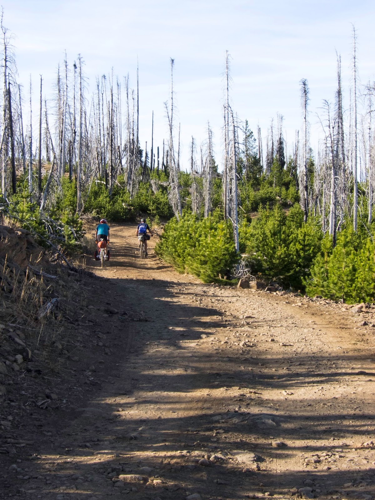
| Day 8: Morning at Scott Camp in the Ochocos. |
 |
| Heading to Prineville, but first a side-trip to the summit of Mt Pisgah. |
 |
| This is still the road to Prineville. The Mt Pisgah spur is worse. |
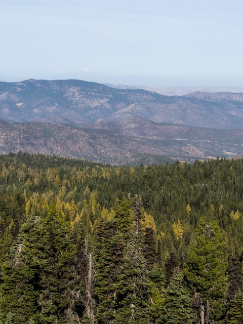 |
| Very hazy Mt Jefferson. This was the first day visibility was poor. |
 |
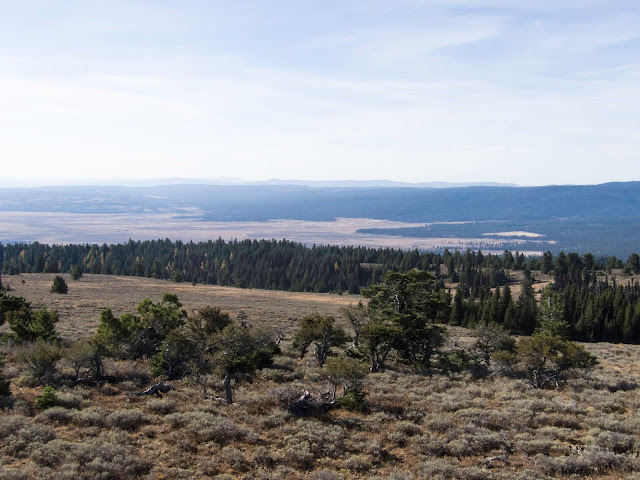
| North from the fire lookout atop Mt Pisgah |
 |
| South... |
 |
| Mt Pisgah Fire Lookout Tower |
 |
| Back to the "main" road... |
 |
| No worries. |
 |
| Marty in the corner, almost to Prineville |
 |
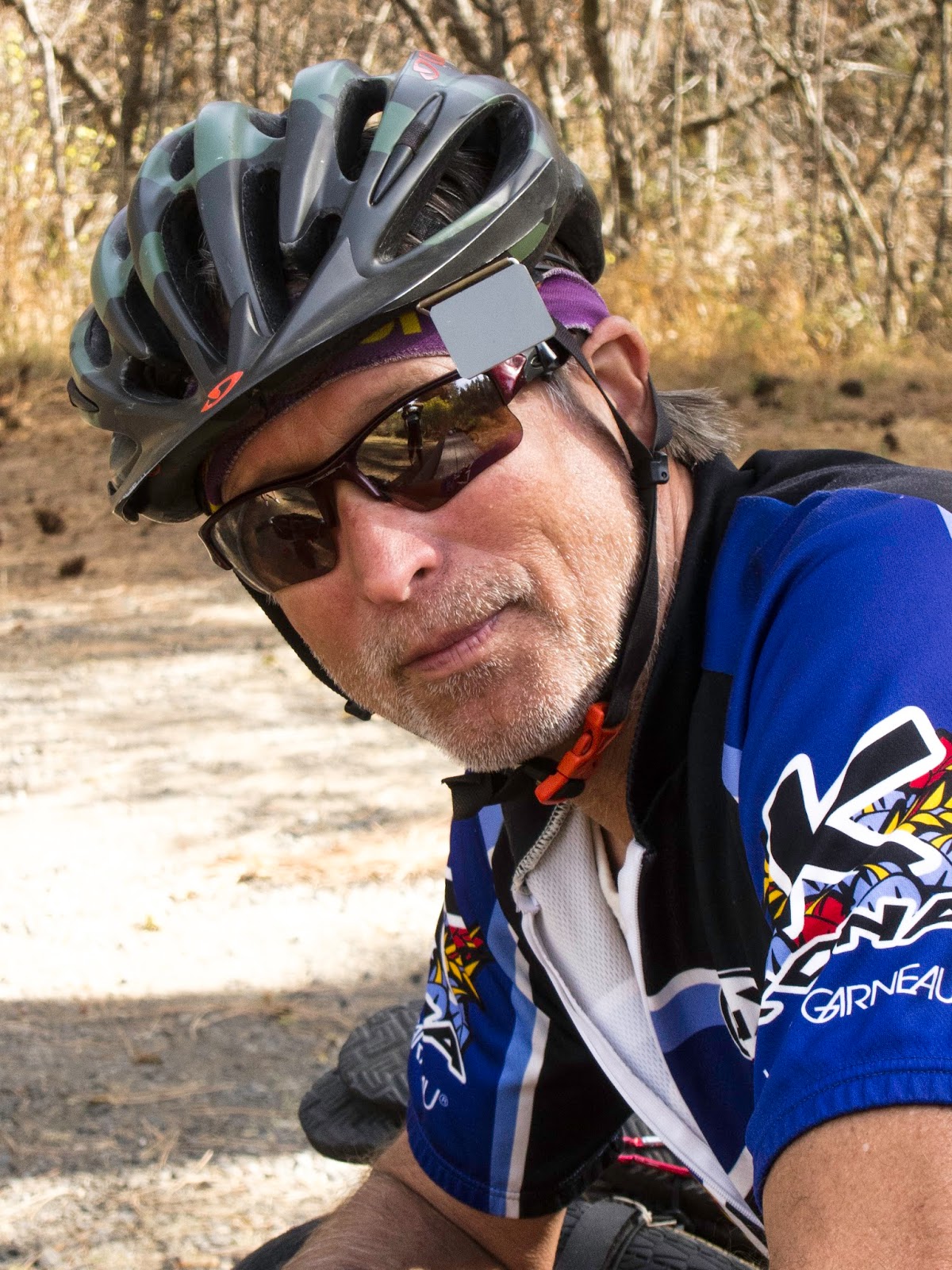
| Tim Turk |
 |
| Marty Cochran |
 |
| About to sit on the back. |
 |
| And, finished! |